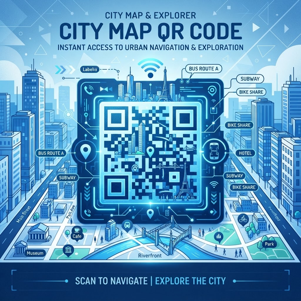
1. Why this matters in 2026
As we navigate the mid-2020s, the expectation for immediate information access has become a hallmark of urban design. Visitors to any city, town, or large corporate campus expect to be able to scan a code and instantly see their surroundings on a digital interface. The importance of integrating a QR code for city maps into public infrastructure cannot be overstated. When a traveler arrives in an unfamiliar city, the barrier to entry—finding one's way—is the most significant source of friction. By removing this barrier through accessible technology, cities can encourage more walking traffic, support local economies, and enhance the overall visitor experience without requiring people to download proprietary applications that they may only use once.
Furthermore, the ubiquity of smartphones means that almost every pedestrian is a potential user. Unlike physical signage that can be vandalized, weathered, or obscured, a durable physical placard featuring a high-contrast QR code can survive for years. This efficiency saves countless resources for municipalities that previously had to reprint and distribute physical brochures which are often discarded. By choosing to implement a static, reliable system, project managers ensure that users are directed straight to the official navigation software or web-based map they need. For those looking to learn more about the fundamentals of code deployment, our QR Code Placement Best Practices guide offers further insight into maximizing accessibility. Ultimately, providing map access via QR is a commitment to modern urban accessibility and environmental responsibility.
2. How it works technically
The technical brilliance of the QR code lies in its simplicity and universal readability. At its core, a QR code is a machine-readable optical label that contains information encoded in a two-dimensional grid of black squares on a white background. When you generate a QR code for a city map, you are essentially embedding a specific URL (Uniform Resource Locator) into this geometric pattern. When a user scans the code using their device’s built-in camera, their smartphone parses this pattern, decodes the URL, and prompts the user to open that link in their default web browser. The process is completely transparent and does not require third-party software, which is a major advantage for city-wide initiatives where broad compatibility is essential.
Because the code functions by simply directing a user to a pre-defined destination, it acts as a permanent, reliable signpost. The underlying technology behind the QR code has not changed in years because it does not need to—it is a robust standard that remains highly effective for linking physical locations to digital endpoints. When you visit a generator to create your code, the tool translates your target link into the specific pattern of modules (the squares in the code). This encoding is done using error correction protocols that allow the code to be read even if it is partially damaged or slightly dirty. This is why it is so effective for outdoor use cases where environmental exposure is a factor. Once encoded, the pattern is fixed, ensuring that the link remains consistent for all users, providing a stable experience that is perfect for public utilities.
Try it now: Generate a free QR Code for City Maps →
3. Step-by-step guide using blueqrcode.com
Creating your own QR code for navigation is a straightforward process when you utilize the tools provided by blueqrcode.com. The platform is designed for efficiency and ease of use, ensuring that you can generate the exact code you need in just a few moments. First, identify the URL of the map you wish to share—this could be a specific Google Maps view, a custom web-based map, or a site plan on your organization’s domain. Ensure the URL is clean and leads directly to the map interface so that the user does not have to click through multiple landing pages to find what they need. If you are dealing with other types of digital assets, you might also find our PDF QR Code for Portfolio Step by Step guide useful as a reference for handling various file formats.
Once you have the link, navigate to the generator on blueqrcode.com. Select the URL category and paste your link into the designated field. You will see an immediate preview of your code. Take a moment to test the scan using a few different smartphone models to ensure the link opens exactly as expected in the mobile browser. If the code looks correct, you can download the image file. It is recommended to choose a high-resolution format, such as PNG or SVG, which maintains clarity even when printed on larger materials like foam boards or metal placards. Because the tool is free and requires no sign-up, you can generate as many distinct codes as needed for different map zones throughout the city. This simple process allows you to maintain professional-grade signage without complex software suites or technical barriers.
4. Best practices for deployment (size, placement, format)
Deploying a QR code in a public space requires careful consideration of the user's physical environment. Size is the most critical factor; the code must be large enough to be scanned from a comfortable distance, yet not so large that it dominates the visual design of the information board. For signage intended to be read by pedestrians, a minimum size of 4x4 inches is generally recommended, though this should increase if the code is placed on a post that pedestrians might walk past at a brisk pace. Placement must be at eye level or slightly below, between 40 and 60 inches from the ground, ensuring that people of various heights and mobility levels can scan it without needing to reach or crouch.
The contrast between the code and the background is equally important. A dark-on-light configuration is the industry standard for high-accuracy scanning; for example, a black QR code on a white or light grey background provides the best possible readability. Avoid placing the code on reflective surfaces, such as polished glass or metallic panels, as the glare from sunlight can interfere with the camera's ability to interpret the pattern. Also, ensure the surroundings are kept clear of cluttered advertisements or busy patterns that might distract the user or confuse the camera's auto-focus. Finally, consider the material of the sign. High-quality adhesive vinyl or weather-resistant metal plaques ensure that the code remains readable even in harsh conditions. Always perform a physical scan test once the material is printed and before it is permanently installed to ensure that ambient lighting doesn't affect the user journey.
5. Common mistakes to avoid
When implementing a QR code system for city maps, many project managers fall into the trap of over-complicating the destination. A common mistake is using a URL that requires a user to sign in or accept complex permissions before they can view the map. If a user encounters a barrier to entry, they will likely abandon the process, rendering the sign useless. Another frequent error is using a link that is too long or prone to breaking; always ensure you are using a permanent, stable link that will remain active for years. For those interested in expanding their digital presence beyond simple maps, our How to Make a QR Code for a Product guide provides additional tips on avoiding common pitfalls in digital redirection.
Beyond the technical aspect, poor physical placement is a significant issue. Placing a QR code in an area with poor cellular connectivity, such as a deep subway tunnel or a concrete-heavy basement, can lead to frustration. If your location is in an area with signal issues, consider adding a brief note near the code instructing users to look for the map information as soon as they have coverage. Another mistake is ignoring the importance of instructions. Do not assume everyone knows what a QR code is; a small, clear line of text beneath the code saying "Scan for city map" is essential. Finally, failing to verify the link's accuracy before mass-printing the signs is a costly mistake. Always verify the destination link on at least three different devices, including both modern and older smartphones, to ensure the map renders correctly on all screen sizes and operating systems.
6. 3-4 concrete use cases by industry/sector
The application of city map QR codes spans various industries that serve the public. In the tourism sector, municipalities can place QR codes at popular historical landmarks. By scanning the code, a tourist is immediately presented with a map showing nearby landmarks, public restrooms, and transit hubs. This prevents crowding around traditional paper maps and provides the visitor with a self-guided tour experience that feels personal and efficient. Hotels and hospitality businesses also benefit by placing these codes in their lobbies; it allows the concierge to provide guests with a digital map of the immediate neighborhood, curated with the business's own recommendations for restaurants and retail locations, effectively acting as an extension of their customer service.
Real estate and urban development boards often use these codes at construction sites or newly developed plazas to show the public what the future layout of the area will look like. By scanning the sign on the fence, a pedestrian can view an interactive site plan or map of the upcoming community features. Another sector that benefits greatly is public transit; transportation hubs can place QR codes on transit stop placards that show the user their current location in relation to the entire bus or rail network. This is particularly helpful for commuters in busy cities who need to double-check their route in real-time. Each of these use cases demonstrates how simple digital tools can elevate the operational efficiency of public-facing entities, turning static information into interactive, helpful guides for the general public.
7. Summary and next steps
Integrating a QR code for city maps is a low-cost, high-impact strategy for any organization looking to improve accessibility and user experience in 2026. By leveraging the tools available at blueqrcode.com, you can provide instant access to navigation resources, reduce the reliance on printed materials, and empower citizens and visitors to navigate their surroundings with confidence. The combination of clear placement, high-contrast design, and stable destination links ensures that your implementation will remain effective for years to come. Because these codes are static and rely on permanent, reliable web links, you do not need to worry about complex maintenance or subscriptions; once installed, they simply work.
To get started, follow these steps: identify the specific map URL you want to share, generate your high-quality code, conduct thorough testing on various mobile devices, and ensure that your signage is placed in an accessible, well-lit location. Do not underestimate the power of a simple, well-labeled sign; clear instructions encourage users who might be unfamiliar with QR technology to give it a try. As you expand your digital wayfinding, you might also find value in integrating other digital touchpoints, such as those discussed in our guide for QR Code for Virtual Tour, to create a truly connected experience. Now is the perfect time to audit your public physical spaces and identify where a digital map could save time and reduce confusion. Take the step today to simplify your city’s navigation and provide a better experience for everyone.
No watermark · No expiry · Works on all phones
Your QR code is ready in under 30 seconds.
Generate Free QR Code →